Advanced mapping and analytics
Gleaning global insights with unclassified data, tools and open tech
Understand and navigate change
The acceleration of change around the globe is precipitating a spike in demand for foundation GEOINT to better understand and navigate arising challenges.
Understanding global environments requires more than just more data—it demands living maps, new tools, honed processes, seamless connectivity and better collaboration that can scale with our ambitions.
From Source to Insight
Maxar’s highest quality commercial data and open source capabilities combine to drive innovations in mapping and machine learning, accelerating insights on real-world events and response times for decision-makers and first responders.
Supporting U.S. Government Missions
On-demand current satellite imagery
Maxar’s Global Enhanced GEOINT Delivery helps the National Geospatial-Intelligence Agency (NGA) serve over 300,000 intelligence analysts, warfighters and first responders with online and offline on-demand access to the world’s highest-resolution commercial imagery in support of U.S. government (USG) missions.
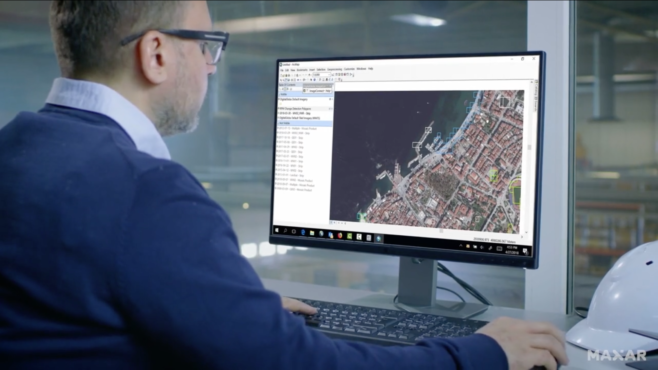
Collaborative mapping
Many of Maxar’s services are telework-friendly. The NGA Open Mapping Enclave advances the production of foundation GEOINT and supports missions across USG. These capabilities support foundational mapping, disaster response and mission planning.


Automated feature extraction for humanitarian response
Maxar aids humanitarian assistance and disaster response teams by applying artificial intelligence and machine learning (AI/ML) computer vision algorithms to quickly develop maps of roads and building footprints pre-event, and then identify and estimate damage to buildings and other infrastructure following disasters to help focus emergency response and keep teams safe.
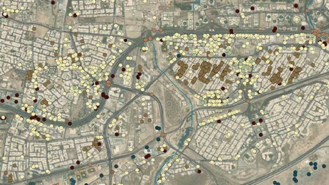
Analyze Change to Predict What's Next
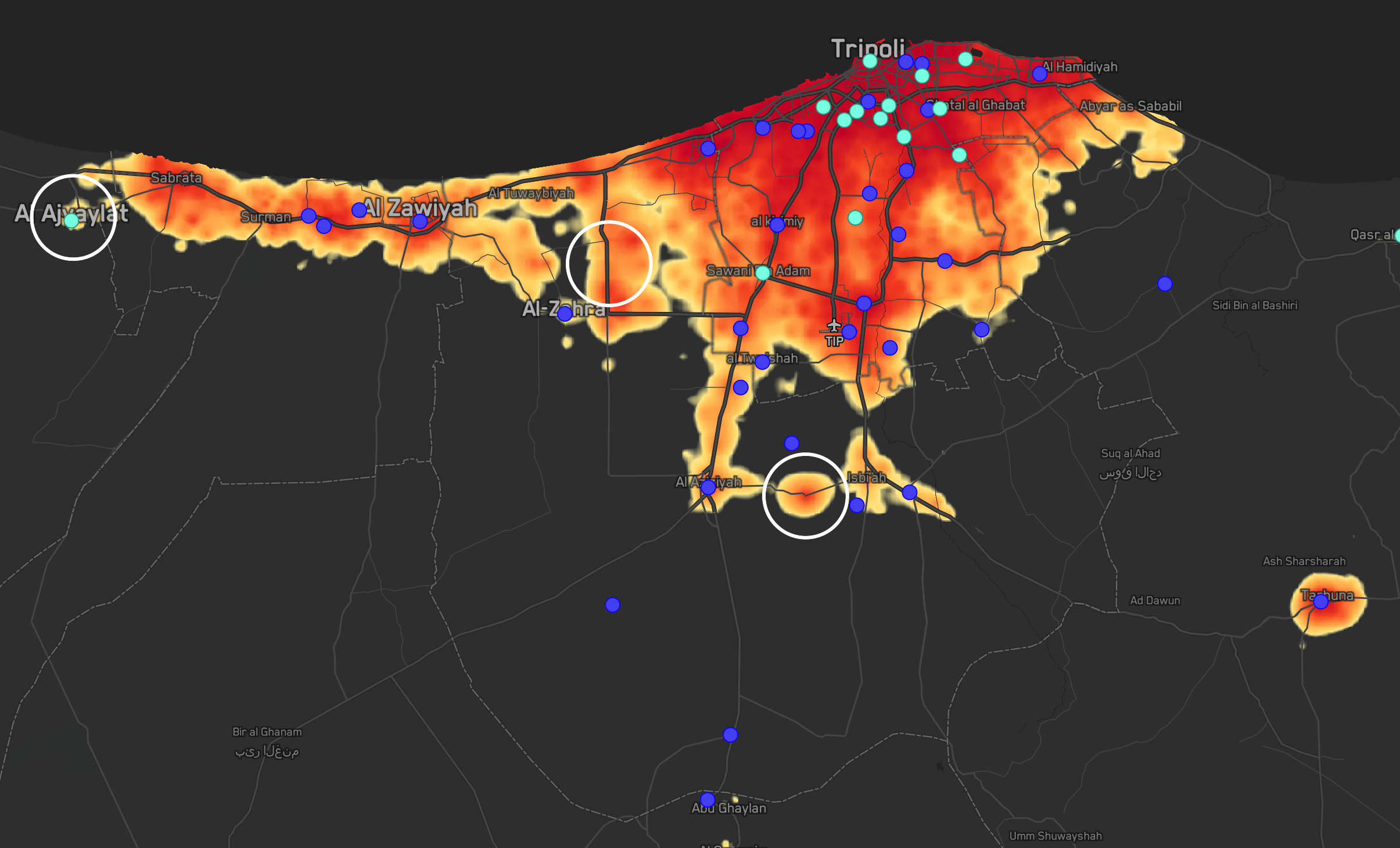
Find patterns amidst the chaos
Start with the best foundation data and analytics to understand the current environment. Then find patterns of activity and points of interest amidst to narrow the scope of interest and determine high-risk areas.
These insights plus up-to-date city-scale maps enable better situational awareness, risk assessment, and operational planning.
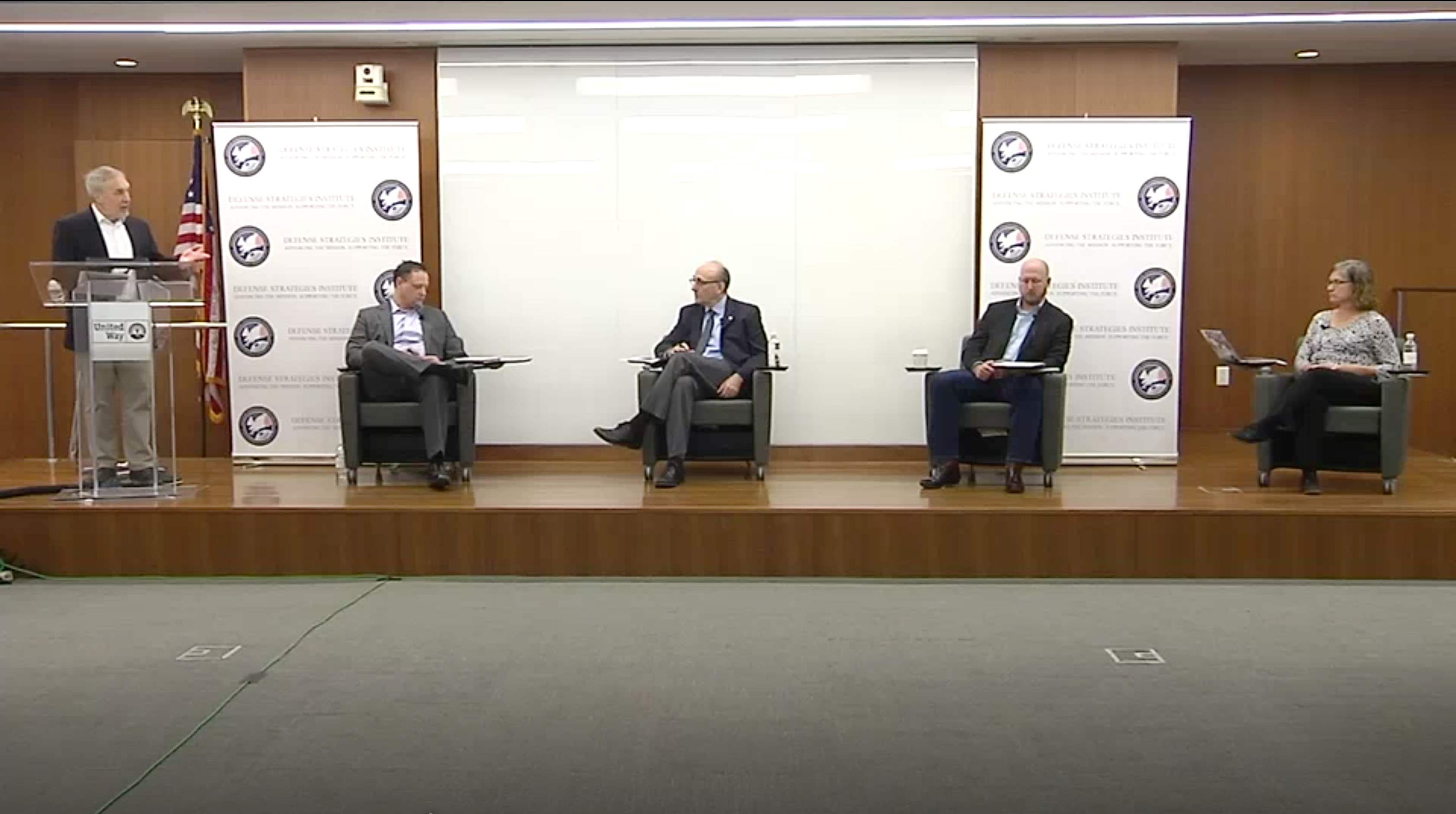
Open Data and Mapping for Disaster Response
At Earth Intelligence 2020, hosted by DSI, leaders from NGA, NASA, AWS and the State Department discussed ways in which AI/ML, collaboration and 3D capabilities can help manage big data problems and support better disaster planning and mitigation.
Accurate, global-scale mapping and analysis
Expedite workflows and gain a decision advantage with the highest-quality imagery, derived data and analysis from Maxar.

Basemaps
Maxar’s imagery basemaps provide stunning, high-resolution and seamless image layers to support mapping, visualization and analytics.

Vricon 3D
Accurate 3D modeling and immersive visualization that help contextualize the operating environment.

Persistent Change Monitoring
An image-based change detection data layer draws immediate attention to areas of new construction and other activity.
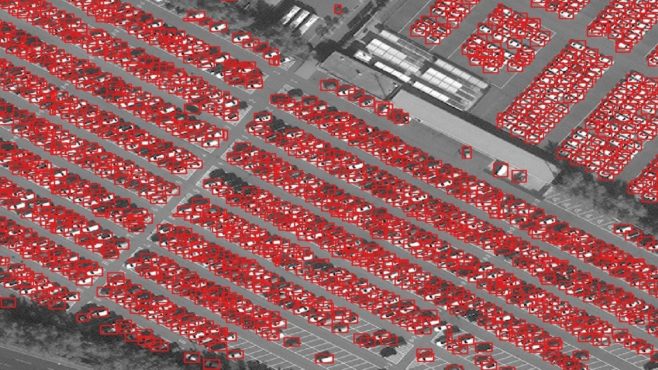
DeepCore
Our end-to-end AI/ML toolkit enables self-service computer vision analytics.
Human Landscape
Identify and analyze key human dynamics to enhance situational awareness with foundational human geography datasets.

Signature Analyst Server
This predictive analytics capability helps users understand where, when and why critical events are likely to occur.

Special intelligence reports and programs
An agile team of experts presents rapid intelligence reports for short-term needs or geospatial services for ongoing intelligence programs.
WorldView Legion
Maxar’s expanded capacity and analysis-ready data will enable significantly more accurate, comprehensive and timely pattern-of-life and change detection analysis.
Request a briefing or capabilities demonstration
See how you can operationalize these services today.
Contact us