Authoritative synthetic environments
Rapid 3D modeling and accurate visualization for superior readiness
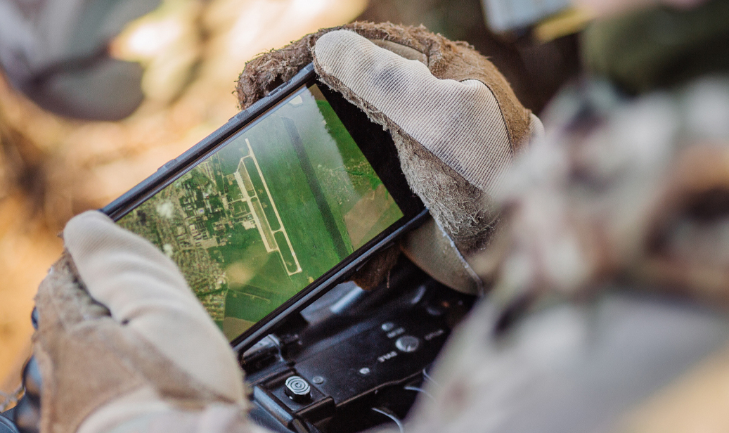
Mission planning and rehearsal
Active military operations present urgent needs for human-scale 3D data to enable effective mission planning and rehearsal, support operational situational awareness, bolster first-phase intelligence analysis and provide a foundation for accurate multi-INT data fusion.
Many existing simulation solutions leverage outdated or low-resolution imagery or, worse, artificial environments. But today’s operators and mission support teams want the ability to plan and rehearse with accurate battlefields and immersive environments that reflect up-to-date ground conditions.
Immersive simulation and virtual training
Maxar’s accurate and realistic 3D representation of global theater environments enable lifelike flight simulations and precise environments to train and simulate mobility and tactical planning anywhere on Earth.
We automatically extract features, vectors and attributes via AI and ML from our pipeline of current, high-quality geospatial data. Maxar visualization solutions feature high fidelity attributes that perfectly align with conditions on the ground to support superior operator cognition and readiness.
Precision 3D Data
-

3 m absolute accuracy in every direction
-

50 cm resolution
-

Geospecific 3D models
-

Scalable globally
One World Terrain
One World Terrain aims to create highly accurate and realistic 3D representations of the global battlefield environment to support interactive mission training and rehearsal anywhere in the world.
Over time, this digital 3D model of the physical Earth will provide foundation data to augment the experience of operators for maneuver and fire missions.
Georegistration
Maxar’s 3D data and P3DR software allow for georegistration at the edge. We can integrate drone, aerial and satellite imagery and video sources, then tie them to a standard reference set to create a virtual reality experience that replicates vehicle and ground force engagements.
GEOINT Processing at the Edge
By combining precision 3D registration technology with Maxar’s industry-leading imaging constellation, tactical RGT capabilities and AI/ML-enabled automated object detection, we can help military leaders confidently execute long-range precision fires by minimizing the timeline between target verification and action.
Symmetry across virtual and real battlefields
Maxar is bridging the gap between future synthetic training environments and operational requirements for GEOINT analysis, mission planning, mission rehearsal, mission execution and sensor fusion.

Enhanced Environments for Realistic Mission Rehearsal
At Earth Intelligence 2020, hosted by Defense Strategies Institute, representatives from Army Futures Command, U.S. Army PEO STRI and Maxar addressed some of the misperceptions with 3D data and pointed to critical integrations needed to meet the community's maturing ambitions.

Enabled by WorldView Legion
The addition of WorldView Legion agile satellites and expanded capacity will improve the currency and scale of Maxar’s three-dimensional elevation datasets, along with mosaics and other mapping products to enhance situational awareness and mission planning.
With WorldView Legion, we'll be able to model an entire city like Mosul in 3D, overnight from that day’s imagery collections.